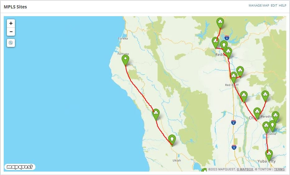
World map is the best map in SolarWinds because I can add latitude and longitude to each node and it will plot it on the map. With other maps inside of Orion, it does not plot nodes on a map, but you can create a link(line) between nodes or groups. My idea is that SolarWinds should use World Map to plots node/groups on a map and create a link(line) between nodes/groups. Example shown in the image below. The link(line) should also show if the link is down/up and show utilization.