

As part of migrating out of Network Atlas, we're missing a feature that seems rather easy to implement.
We simply need a line/arrow graphic imported into the tool (yes we can import an image but it's cumbersome) to manually drag and drop to connect.
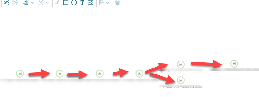
In our example we need to show a flow of a file from one spot to the other, and it's not easily done by connecting objects and there's no lines or arrows except for a manual import of the same image over and over again.
Example attached
